By Gary L. Pinkerton
It is difficult to imagine the terrain of East Texas when there was almost nothing across the countryside. Finding places today where cell towers, high-voltage power lines, railroads, and ranches disappear from our field-of-view is a challenge to say the least. However, imagining the landscapes of the past when the Caddo and other native people made this region home is important for anyone trying to learn about its unique history.
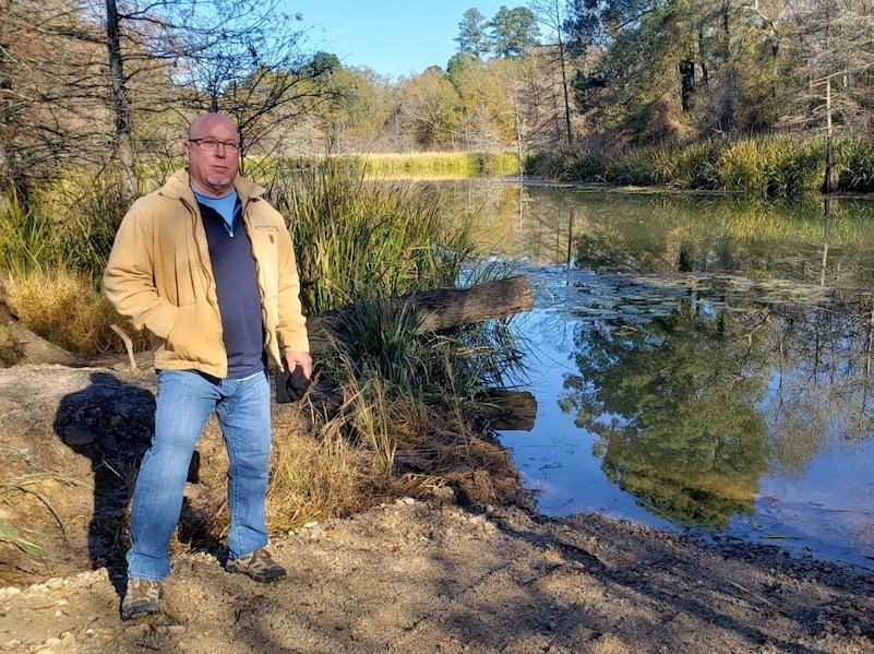
I started imagining the past more clearly in 2004. That was when I learned that David Crockett, Sam Houston, and Jim Bowie rode their horses across our family land in Rusk County. It was an epiphany to me and generated not only a researcher’s curiosity about the trail across our land, but it also inspired a life-long mission to preserve the history of that route. The trail they rode is called Trammel’s Trace.
Very quickly I learned those notable Texans’ journeys were closer to the end of the history of Trammel’s Trace than the beginning. For thousands of years, the woods and watersheds of the region were home to the Caddo and other indigenous people. During the Spanish colonial period, the extensive Caddo villages were seen as a “kingdom” and their ancient pathways were adopted as Spanish caminos reales (main roads). With roots in the early 1700s as a Spanish mission, Nacogdoches after 1779 became a center of contraband and commerce in the middle of the piney woods. After Anglo immigration escalated in 1821 following the formation of Austin’s colony, hundreds of people passed through East Texas on their way farther south.
From about 1819 into the 1850s, Trammel’s Trace was the primary route for entry into Texas for Anglo immigrants coming by way of Kentucky, Tennessee, Missouri, and Arkansas. After Texas statehood in 1845, the population of East Texas grew substantially, and roads began to spring up all around.
Through the middle of all of them was Trammel’s Trace.
It was such a significant feature of the landscape that in 1843 it became part of the boundary in the formation of Rusk County and remains so today. It was as considerable and ever-present as the rivers and streams that commonly define those kinds of boundaries.
Typically, our understanding of history includes physical places like museums, old forts, or Spanish missions. More than simply knowledge about what happened in the past, a history of place also conjures emotions that connect us to historic events. The Alamo is as much a shrine that calls forth deep feelings as it is a museum for understanding the events that took place there. My physical place for understanding history is the 180-mile trail from Fulton, Arkansas, to Nacogdoches named for smuggler, trader, and horse racing gambler, Nicholas Trammel.
A hiker along the historic route of Lewis and Clark reported that “walking in Meriwether Lewis’ footsteps makes my feet tingle.” For me, the tingle came while visiting locations where Trammel’s Trace crossed larger rivers. The crossing of Trammel’s Trace at the Sulphur River on the boundary of Cass and Marion Counties is isolated and far from any modern improvements. In the 1830s it was the later location of Epperson’s Ferry. The crossing is now on Corps of Engineers land at the upper end of Wright Patman Lake. Most historians now believe that where I stood was the same place that Spanish explorer Luis de Moscoso Alvarado crossed in 1542 while he was wandering across the landscape.

The Sabine River crossing of Trammel’s Trace was atop a lignite base which made a solid path on foot or on horseback. Trammel’s Trace crossed the Sabine at the point where Rusk, Panola, and Harrison counties connect. Francis Ramsdale’s ferry crossing there in 1835 was likely little used.
Standing at that spot for the first time was a reminder of diary accounts I read about the mix of people camped out waiting for flood waters to recede. Now I get chill bumps when I simply talk about those places.
The ground in seven Texas counties contains the main path of Trammel’s Trace — Bowie, Cass, Marion, Harrison, Rusk, Panola, and Nacogdoches. Another leg of the trail originated at Pecan Point in what is now Red River County.
Down the 180-mile route of Trammel’s Trace there are known indicators for the route as it existed in the early 1800s. In many of the Original Texas Land Surveys, often called headright surveys, the field crews noted where Trammel’s Trace crossed the boundary of the land grant. Those survey calls are the foundation of my mapping of Trammel’s Trace. They continue as reference points even though evidence of the trail at those markers is largely lost over time due to farming, cultivation, timber operations, or other modern improvements.
In between those known points, both the terrain and remaining ruts in the landscape are clues to the trail’s course. Using the survey calls to re-imagine the trail is like working on a 1,000-piece jigsaw puzzle with only 100 of the pieces. Not every depression in the landscape is a historic road. Using old maps and the topography as guides, the known points provide linear integrity to the necessary ground-truthing required to affirm the path.
Searching for those remains is part of my life work still today. With the publication of my book, Trammel’s Trace — The First Road to Texas from the North in 2016, that effort engaged historians, landowners, Trammel descendants, and fellow “rut nuts” in finding what is still left on the landscape.
Though most of the route is on private land, some of the ruts are still visible from public roadways. A short segment of double ruts south of Maud in Bowie County shows a feature seen often along old trails, perhaps an example of a turnout around an eroded path. A deep swale just north of Avinger, in Marion County between Hughes Springs and Jefferson, illustrates how use over time can wear down the trail below ground level. Shadows of an old road across a pasture just east of Dalton in western Cass County on Highway 77 are easily recognizable from the roadway.

Existing roads down the same corridor used by Trammel’s Trace are easily driven to provide a sense of the landscape. Visible ruts along those current roads often expose the old trail weaving back and forth across a newer, straighter road.
A 1992 poem titled “An Old-Fashioned Song” by John Hollander was set to music by The Eagles in their 2008 song “No More Walks in the Wood.” Their ethereal harmonies capture Hollander’s recognition of the fate of old roads.
No more walks in the wood:
The trees have all been cut
Down, and where once they stood
Not even a wagon rut
Appears along the path
Low brush is taking over.
By learning about the history of Trammel’s Trace and through landowner efforts to preserve what still remains, the legacy of the people who made pathways across East Texas can be preserved. The First People, Spanish explorers, and the ancestors of many Texans traveled down Trammel’s Trace leaving their footprints and their memories behind.
More details about the route of Trammel’s Trace is available in the form of a Google Maps reference that allows a driver’s smartphone to identify where modern roads crossed Trammel’s Trace. A free download of a map of Trammel’s Trace is also available. A guide to locating these ruts, as well as historical markers about Trammel’s Trace, are all found at www.trammelstrace.com.
Gary L. Pinkerton is the author of two books on East Texas history, Trammel’s Trace — The First Road to Texas from the North, and True Believers — The Treasure Legend of Hendricks Lake. He is currently working on a history of Spanish colonial East Texas focusing on 1773-1813. For more information go to www.trammelstrace.com.
